

Powiedz znajomym o tym przedmiocie:
Hema Maps: Western Australia
Hema Maps
Nasi klienci mówią:

Dodaj do swojej listy życzeń iMusic
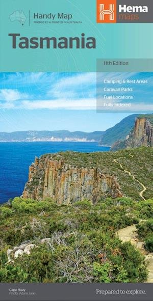
Hema Maps: Western Australia
Hema Maps
12th edition December 2014. Scale: 1:2.500.000. A fully indexed compact map of Western Australia that has camping and rest areas, 24-hour fuel, national parks and more marked on the mapping for touring throughout the state. - 24-hour fuel - Rest & camping areas - National parks - Fully indexed Opened Size: 875 x 500 mm Size: (folded) 125mm x 250mm
| Media | Książki Hardcover Book (Książka z twardym grzbietem i okładką) |
| Wydane | 31 grudnia 2012 |
| Oryginalna data wydania | 2015 |
| ISBN13 | 9781865009889 |
| Wydawcy | Hema Maps |
| Genre | Maps & Guides |
| Wymiary | 121 × 250 × 4 mm · 500 g (Waga (szacunkowa)) |
| Język | English |
Pokaż wszystko
Więcej od Hema Maps

Inni również kupili
![Cover for Lars Saabye Christensen · Byens spor: Byens spor 1 PB (Paperback Book) [4. wydanie] (2019)](https://imusic.b-cdn.net/images/item/original/691/9788793661691.jpg?lars-saabye-christensen-2019-byens-spor-byens-spor-1-pb-paperback-book&class=scaled&v=1555274459)
![Cover for Jón Kalman Stefánsson · Menneskets hjerte (Sewn Spine Book) [2. wydanie] (2015)](https://imusic.b-cdn.net/images/item/original/282/9788793209282.jpg?jon-kalman-stefansson-2015-menneskets-hjerte-sewn-spine-book&class=scaled&v=1449234938)
![Cover for Jón Kalman Stefánsson · Englenes sorg (Sewn Spine Book) [2. wydanie] (2014)](https://imusic.b-cdn.net/images/item/original/765/9788792439765.jpg?jon-kalman-stefansson-2014-englenes-sorg-sewn-spine-book&class=scaled&v=1401351996)
![Cover for Jón Kalman Stefánsson · Himmerige og helvede (Sewn Spine Book) [2. wydanie] (2013)](https://imusic.b-cdn.net/images/item/original/536/9788792439536.jpg?jon-kalman-stefansson-2013-himmerige-og-helvede-sewn-spine-book&class=scaled&v=1447690471)
![Cover for Jon Kalman Stefansson · Sommerlys, og så kommer natten (Sewn Spine Book) [2. wydanie] (2010)](https://imusic.b-cdn.net/images/item/original/031/9788792439031.jpg?jon-kalman-stefansson-2010-sommerlys-og-saa-kommer-natten-sewn-spine-book&class=scaled&v=1333521475)
![Cover for Lars Saabye Christensen · Byens spor: Byens spor 2 PB (Paperback Book) [4. wydanie] (2020)](https://imusic.b-cdn.net/images/item/original/974/9788793661974.jpg?lars-saabye-christensen-2020-byens-spor-byens-spor-2-pb-paperback-book&class=scaled&v=1578607272)
Zobacz wszystko od Hema Maps ( np. Map , Hardcover Book , Book , Print i Spiral Book )